The Great Ridge Walk
Peak District National Park, United Kingdom — — By Robert WattsDistance 9.0 KM
Duration 3.38 Hours
This morning I walked the Great Ridge in the peak district. This walk comprises Mam Tor, Hollins Cross and Lose Hill. I've previously walked up Mam Tor before, so it was especially nice to finally complete the full ridge line in one go.
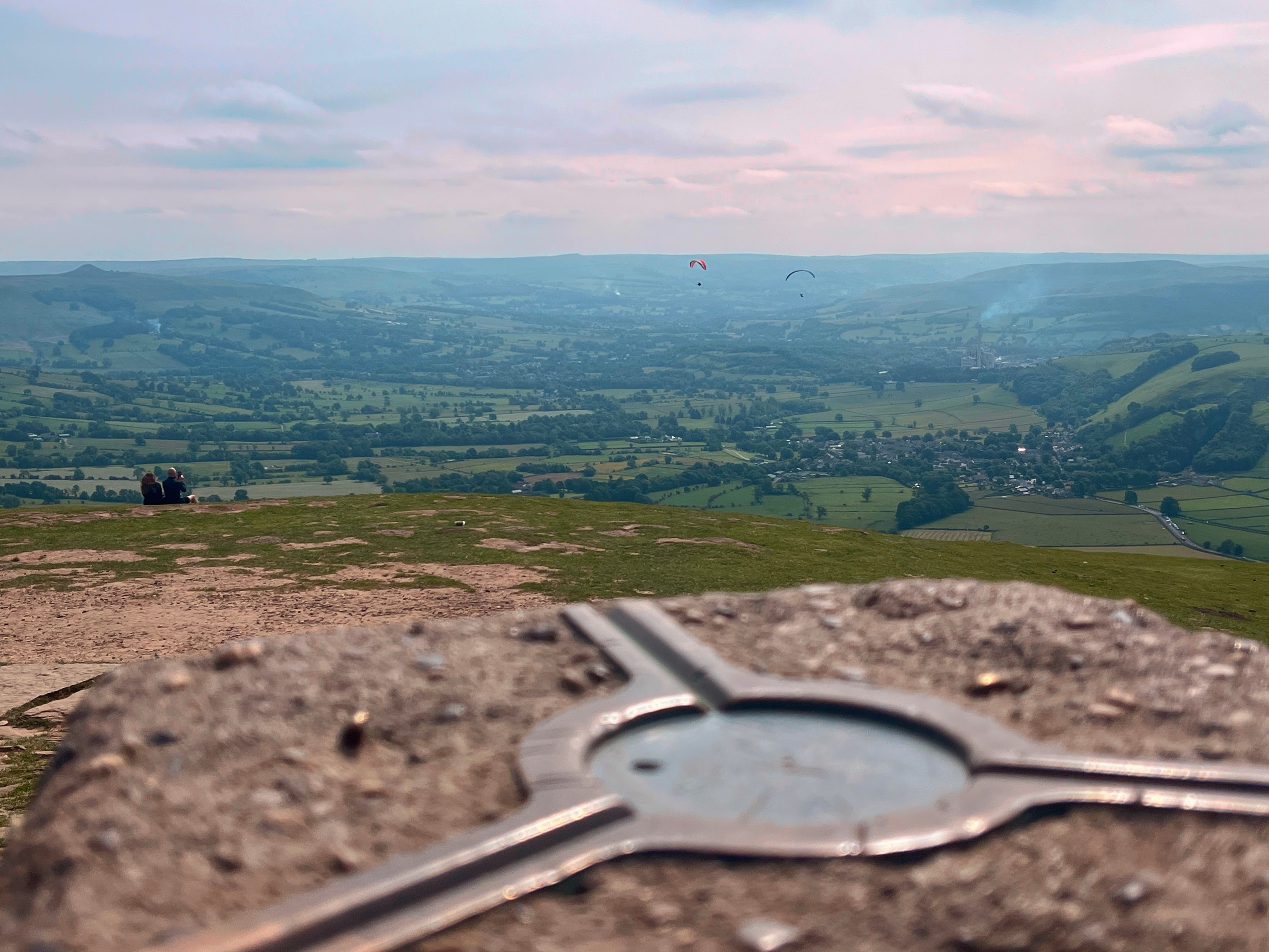
I started at the National Trust car park three quarters of the way up Mam Tor and after climbing the remaining third was immediately rewarded with sweeping views across both Castleton and Edale from the summit.
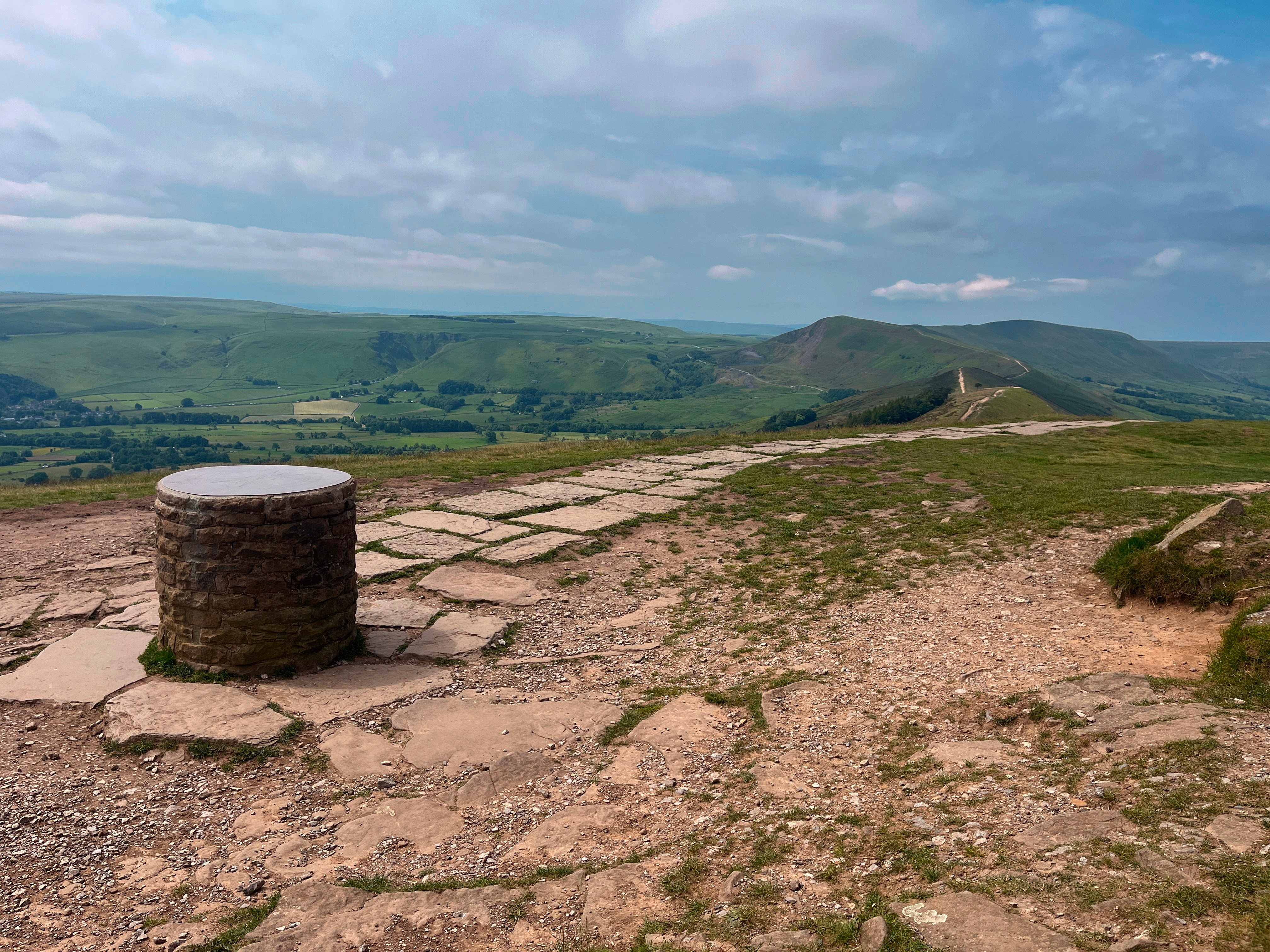
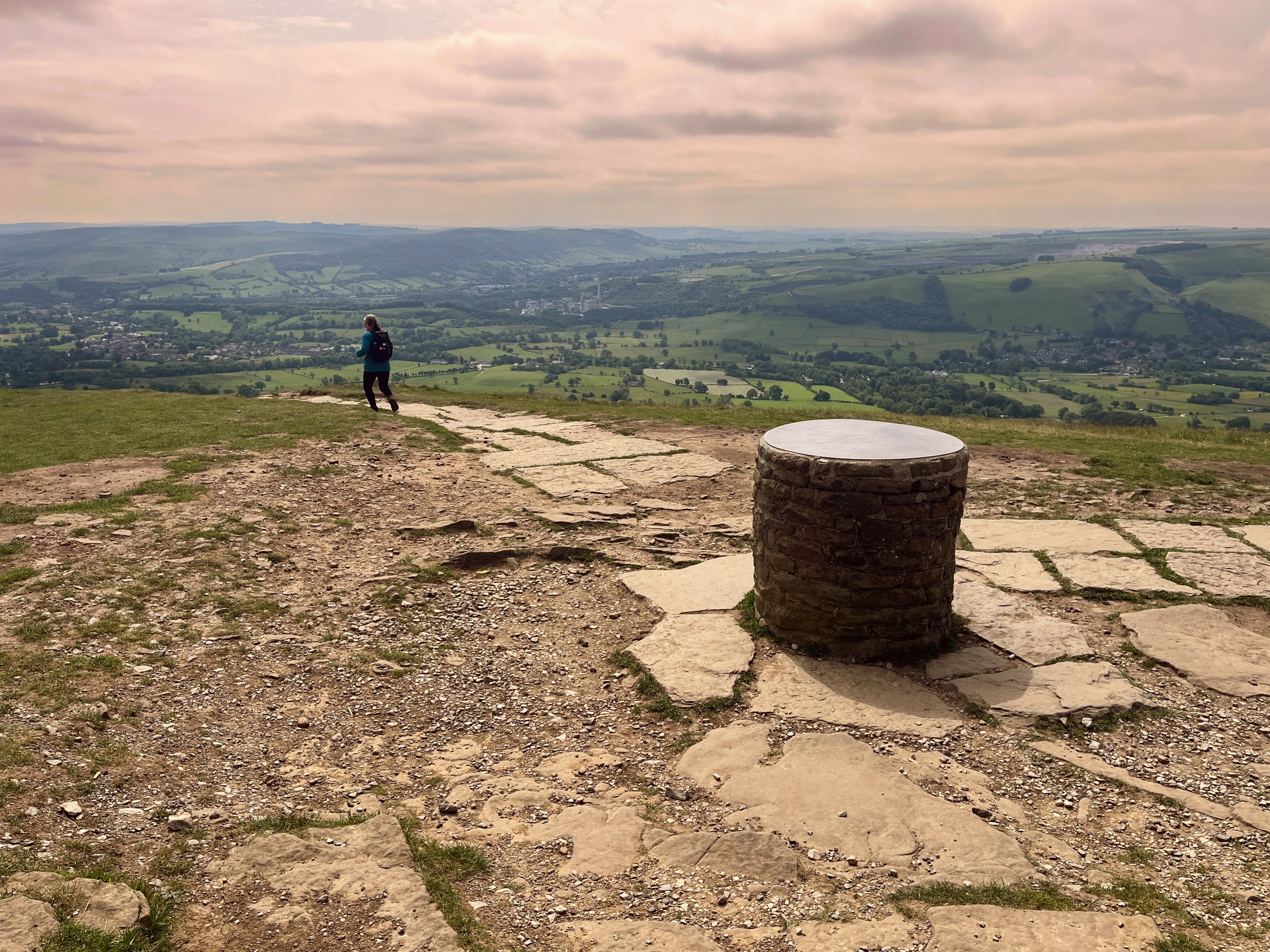
From there, I descended to Hollins Cross, a natural meeting point for several paths across the ridge. I then followed the route up towards Lose Hill via Back Tor. Both the descent from Mam Tor and the ascent to Lose Hill are paved, a practical measure to reduce erosion given how popular this route is.
From lose hill, I looped my way back around to the National Trust car park, walking just below the ridge to Hollins cross, then cutting around Mam Tor.